

Loughrea Lake
Lough Rea
Co. Galway,
Ireland

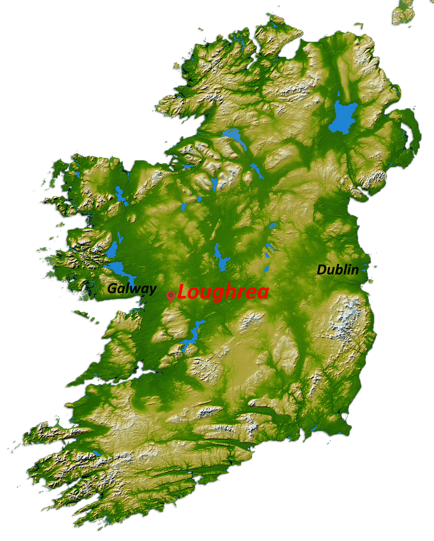
In 1862 G. Henry Kinahan carried out an archaeological survey of the Crannoges on Loughrea Lake.
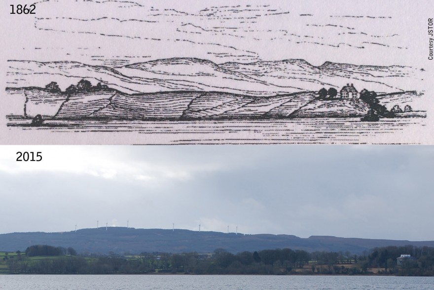
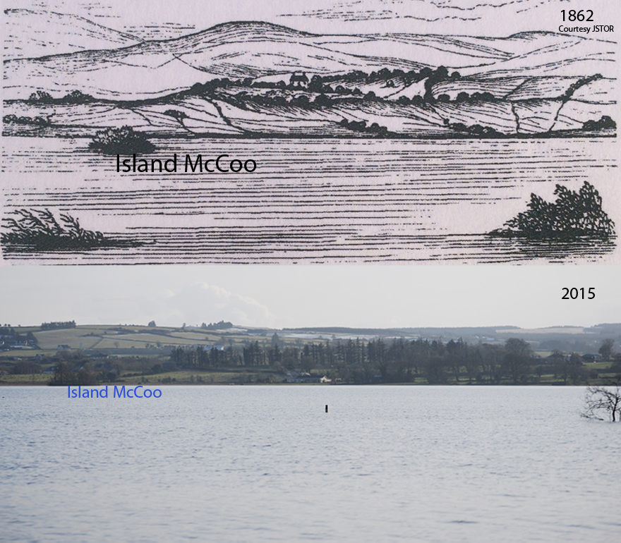
His study shows two interesting sketches of the southern and western shores of the Lake, which were sketched looking from the Fairgreen.
“Reed Island lies a little on the right of sketch, Fig. No.1. It was not included, as it lies so low as to be unobservable in any picture.
Shore Island lies immediately below Lord Dunlo’s house, in Fig. No.1. Ash Island is towards the left of the same sketch, near the shore.”
Today Lord Dunlo’s house has become the Bishop’s house and is almost completely surrounded by large trees. In summer time the house is almost completely blocked out by the trees, with only the chimneys of the house visible from this vantage point. This photo was taken in winter time.
Overall there are many more trees there today and particularly close to the shore-line. Beyond the first set of hills you can also see the extensive conifer plantations that cover the Slieve Aughty hills.
The distant wind turbines at Derrybrien are also a recent addition to the landscape. Do they take from it and will they be there in another 150 years ?
“Island McCoo is the wooded island, toward the left of sketch, Fig. No. 2”
On Crannoges in Loughrea. G. Henry Kinahan. Proceedings of Royal Irish Academy (1836-1869). Courtesy JSTOR
Tags: Ash Island, Derrybrien, Island McCoo, Lord Dunlo, Shore Island, Slieve Aughty, wind turbines
Tweet


